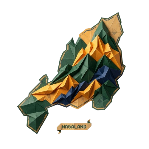
Nagaland State Inauguration Day Low Poly Map PNG
Free PNG image
- Pack
- 1 PNG
- 500 × 500 px
- Transparent PNG
Updated Nov 4, 2026 by PNG Culture
This detailed graphic illustration presents a stylized topographical map of Nagaland rendered in a low-poly paper-craft aesthetic. The island-like landmass features geometric facets in shades of forest green, bright golden yellow, and deep indigo blue, creating a layered mountain terrain effect. A small rectangular banner tag reading Nagaland sits neatly at the bottom edge. The entire artwork is isolated as a transparent cutout.
The distinctive regional map graphic is ideal for creating commemorative educational materials, regional geography presentations, and historical displays for State Inauguration Day in Nagaland. Designers can also use this polygon-style map for cultural festival promotions, tourism brochures, heritage museum exhibits, localized infographics, social media graphics, and creative greeting cards celebrating local identity and traditions without complex vector editing.
Provided as a high-resolution transparent PNG file, this graphic allows for quick placement over any background color or texture without white borders interfering. The clean edges and rich color blocks maintain high visual clarity when resized for large posters or shrunk down for icons. It integrates smoothly with typography, vector elements, and photo collages across both print and digital media formats.
Find more matching graphics in the State Inauguration Day in Nagaland pack.
Nagaland State Inauguration Day Low Poly Map PNG PNG Images
1 free transparent PNG & clipart · no background · free to download
More PNG Images

Red, Blue, and Gold Fireworks Burst PNG for Celebrations
This graphic features a detailed firework burst illustration rendered in a flat vector style. The design showcases dynamic lines radiating…
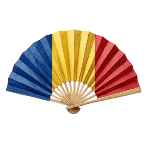
Romanian Tricolor Paper Hand Fan PNG Illustration
This illustration features an open folding hand fan displaying the distinct vertical stripes of blue, yellow, and red, matching the…
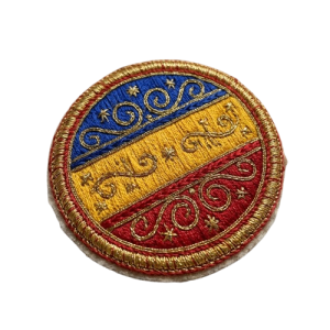
Embroidered Romanian Tricolor Patches PNG for Independence Day
This transparent PNG displays two circular embroidered patches rendered in a realistic style. Each patch features the Romanian tricolor…
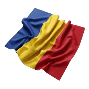
Soft Waving Romanian Flag Fabric Cut-Out PNG
This studio image presents a realistic 3D render of a soft fabric draped in folds, displaying the distinct blue, yellow, and red vertical…
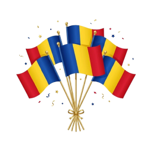
Bunch of Waving Romanian Flags Illustration PNG
This illustration features a festive bunch of waving Romanian flags mounted on thin golden poles and tied together at the bottom with a…
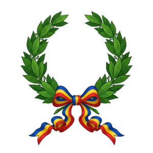
Green Laurel Wreath with Tricolor Ribbon PNG for Romania Independence Day
This digital illustration features a classic green laurel wreath with a central bow made of blue, yellow, and red ribbons. The artwork uses…

Party Popper with Confetti Burst for Romania Independence Day PNG
This detailed 3D render features a classic blue party popper angled diagonally, captured at the exact moment of eruption. A vibrant…
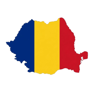
Romania Map Filled with National Flag Colors PNG
This graphic presents the geographic outline of Romania filled entirely with the national tricolor flag. The vertical bands of deep blue…
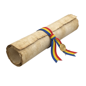
Aged Scroll Tied with Romanian Tricolor Ribbon PNG
This detailed graphic presents an aged parchment scroll tied neatly with a colorful ribbon. The ribbon features the distinct blue, yellow…
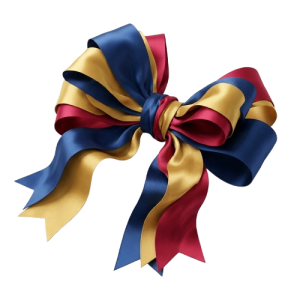
Decorative Tricolor Ribbon Bow in Romanian Colors PNG
This detailed graphic features a layered decorative ribbon bow styled in the prominent national colors of blue, gold, and red. The smooth…
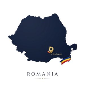
Romania Map with Capital City and Flag PNG Illustration
This detailed vector illustration features a dark blue outline map of Romania set against a transparent background. A golden location pin…
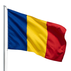
Waving Romanian Flag on a Pole PNG Image
This graphic features the official national flag of Romania, designed with its distinct vertical tricolor of blue, yellow, and red stripes…
More in Federal
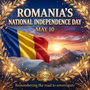
Romania Independence Day Celebration Poster Illustration
This digital illustration features a celebratory design for Romania National Independence Day on May 10. The composition includes a…
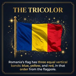
Romanian Tricolor Flag Facts Poster Illustration
This illustration features a dark blue framed poster titled The Tricolor at the top, displaying the national flag of Romania. The flag is…
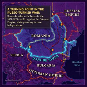
Historical Map of the Russo-Turkish War Illustration
This detailed historical map illustration features a dark purple background with bright outlines and labels marking regions such as…
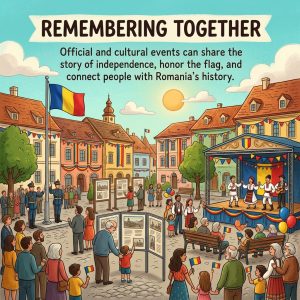
Romania Independence Day Cultural Events Illustration
This colorful digital cartoon illustration depicts a bustling town square during Romania Independence Day celebrations. In the center, a…
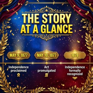
Romania Independence Day Timeline Infographic Illustration
This illustration features a historical timeline graphic designed for Romania Independence Day. The central composition is set against a…
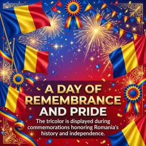
Romania Independence Day Fireworks and Flag Illustration
This eye-catching digital illustration features a vibrant festival scene dedicated to national pride. Waving Romanian flags with their…
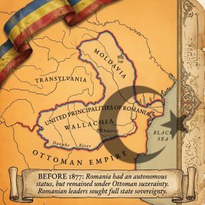
Historical Map of Romania Before 1877 Independence Illustration
This detailed historical illustration presents an aged parchment map depicting the territories of Moldavia, Transylvania, and Wallachia…
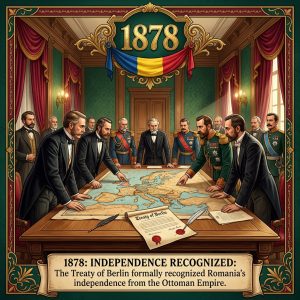
1878 Treaty Hall Historical Painting for Romania Independence Day
This digital illustration depicts a solemn historical scene where several men in 19th-century formal attire, including tuxedos and military…
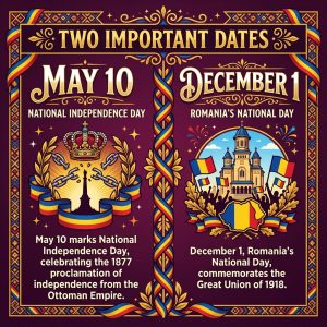
Two Important Dates Romania National Day Illustration
This detailed vertical poster illustration features a deep purple background adorned with golden and tricolor decorative borders. At the…
Red, Blue, and Gold Fireworks Burst PNG for Celebrations
This graphic features a detailed firework burst illustration rendered in a flat vector style. The design showcases dynamic lines radiating…
Romanian Tricolor Paper Hand Fan PNG Illustration
This illustration features an open folding hand fan displaying the distinct vertical stripes of blue, yellow, and red, matching the…
Embroidered Romanian Tricolor Patches PNG for Independence Day
This transparent PNG displays two circular embroidered patches rendered in a realistic style. Each patch features the Romanian tricolor…
Popular PNG packs

Advisor Appreciation Day
This occasion highlights the enduring value of educational work in shaping informed societies and responsible citizens. It promotes…

Shakespeare Day
Shakespeare Day celebrates the enduring literary legacy of William Shakespeare, whose plays and poetry continue to shape global culture…
Aviation History Month
Spanning throughout November 01, this observance commemorates humanity's audacious conquest of the skies. Aviation's earliest experiments…
Odisha Day
Celebrates the creation of as a separate linguistic state and honors a defining moment in India’s cultural journey. People mark the…

Great Poetry Reading Day
Great Poetry Reading Day celebrates the evocative power of verse and the enduring artistry of spoken language. The occasion encourages…

Viral Video Day
Viral Video Day celebrates the electrifying influence of short-form visual content and its ability to capture collective attention within…

International Independence Awarenes
Underscores the importance of cultivating Awareness about prudent money management, long-term planning, and economic resilience. Observed…

Oklahoma Day
Oklahoma Day commemorates the state’s distinctive heritage, tracing a historical tapestry shaped by Indigenous traditions, frontier…

International Romani Day
International Romani Day is observed every year on April 8. It celebrates the heritage, resilience, and lasting contributions of Romani…

UN Chinese Language Day
UN Chinese Language Day celebrates the richness of the Chinese language and its enduring contribution to global communication, literature…

World Day for Safety and Health Work
World Day for Safety and Health at Work promotes a global culture that places employee well-being at the heart of every workplace. Observed…
Orthodox Holy Saturday
Orthodox Holy Saturday is a profoundly reflective observance within the Orthodox faith, commemorating the sacred interval between the…
Comments 0
No comments yet — used this pack in a project? Tell us about it.
Leave a comment