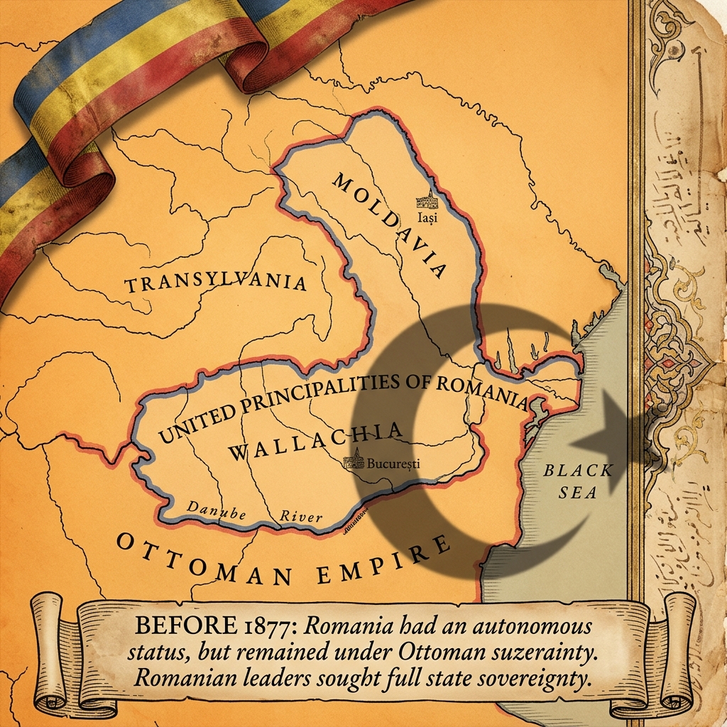
Historical Map of Romania Before 1877 Independence Illustration
Free vector
- Pack
- 1 file
- 1024 × 1024 px
Updated Nov 4, 2026 by PNG Culture 5 views
This detailed historical illustration presents an aged parchment map depicting the territories of Moldavia, Transylvania, and Wallachia forming the United Principalities of Romania. Overlaying the map is a dark crescent moon symbol and an Ottoman Empire label, reflecting the historical suzerainty before 1877. A tricolor ribbon in blue, yellow, and red adorns the top left corner, while a parchment scroll at the bottom features descriptive text explaining the autonomous status of Romania during that era.
The graphic is well suited for educational materials, historical presentations, and history projects related to Romania Independence Day. Designers can incorporate this vintage cartography into school textbooks, museum exhibits, documentary videos, and social media posts commemorating national history. It adds an authentic historical touch to commemorative blog articles, event flyers, and classroom worksheets focusing on the geopolitical landscape of nineteenth-century Eastern Europe.
Delivered as a standalone image file featuring its own complete background, this illustration allows for immediate use in digital and print layouts. The design can be easily resized or cropped to focus on specific regions like Wallachia or Moldavia depending on editorial requirements. It pairs effectively with vintage typography, aged paper textures, and historical portraits to build cohesive designs for historical retrospectives and patriotic anniversaries.
Find more matching graphics in the Romania Independence Day pack.
Historical Map of Romania Before 1877 Independence Illustration Images
1 free image · free to download
More Vectors
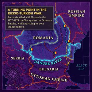
Historical Map of the Russo-Turkish War Illustration
This detailed historical map illustration features a dark purple background with bright outlines and labels marking regions such as…
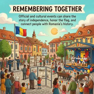
Romania Independence Day Cultural Events Illustration
This colorful digital cartoon illustration depicts a bustling town square during Romania Independence Day celebrations. In the center, a…
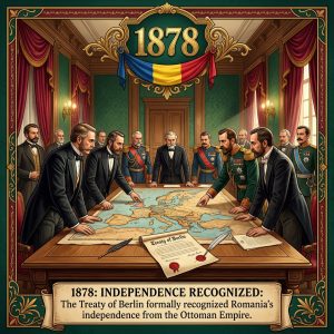
1878 Treaty Hall Historical Painting for Romania Independence Day
This digital illustration depicts a solemn historical scene where several men in 19th-century formal attire, including tuxedos and military…
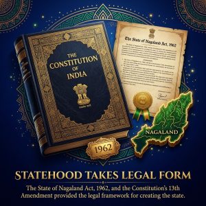
Nagaland Statehood Legal Act and Constitution Illustration
This detailed 3D illustrated graphic features a dark blue book labeled The Constitution of India next to an antique paper document…

President S. Radhakrishnan Portrait Illustration
This detailed historical illustration portrays President S. Radhakrishnan standing at a podium adorned with flower garlands, delivering a…
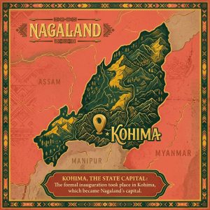
Nagaland Vintage Map Poster Illustration with Kohima Location
This digital illustration presents a stylized map of the state of Nagaland. The design features a textured, dark green landmass set against…
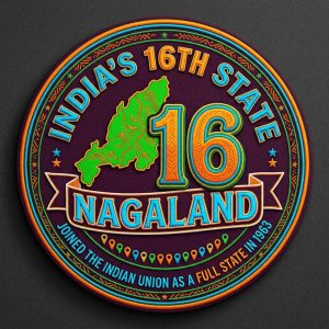
Nagaland Sixteenth State Round Emblem Illustration
This illustration features a circular emblem set against a dark background, created in a stylized digital design. Inside the badge, bold…
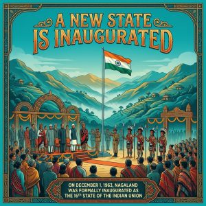
Nagaland State Inauguration Day Historical Scene Illustration
This detailed illustration depicts the historical inauguration of Nagaland as the sixteenth state of the Indian Union. A central flagpole…

Article 371A and Naga Customs Illustration
This detailed illustrative graphic features an open vintage book on a dark, starry background, highlighting Article 371A with text…

IBD Symptoms and Purple Ribbon Vector Illustration
This flat vector illustration features a vibrant yellow background with dark text and purple icons representing various inflammatory bowel…

Ulcerative Colitis Digestive Tract Illustration
This medical infographic illustration clearly depicts the impact of ulcerative colitis on the human digestive system. Set against a warm…

Community Eye Clinic Support Illustration for Gift of Sight Month
This digital illustration depicts a community eye clinic event set against a deep purple night sky. The scene features a staff member in a…
More in Federal

Portugal Restoration Day Crown and Coat of Arms Illustration
This illustration presents a regal digital design set against a deep blue starry background. A bright, glowing golden crown sits at the top…

Golden Trumpet with Tricolour Ribbons and Notes PNG
This 3D-rendered illustration features a polished golden trumpet positioned diagonally across the frame. A twisted ribbon in red and green…

Coloured String Lights with Star Bulbs PNG for Portugal Independence Day
This digital graphic features a swag of string lights hanging in a gentle curve against a transparent background. The wire is dark and…

Golden Bells with Red and Green Ribbon PNG for Celebrations
This digital illustration features two golden handbells suspended from a central ring, tied with a vibrant red ribbon accented by a green…

Confetti Cannon with Tricolour Stars PNG for Portugal Independence Day
This 3D rendered graphic features a confetti cannon with alternating green and red stripes and gold metallic rims. The device is angled…

Snow Globe with Portuguese Flag and Confetti PNG for Celebrations
This digital graphic features a transparent glass snow globe resting on a glossy, black pedestal. Inside the sphere, a Portuguese flag is…

Festive Ribbon and Flag Cluster PNG for Portugal Independence Day
This 3D-rendered illustration depicts a dynamic, celebratory explosion of festive elements. The composition features intertwined red and…

Festive Cupcakes with Red Green and Gold Frosting PNG
This studio photograph captures three delicious cupcakes arranged neatly against a transparent background. Each treat features a…

Antique Lanterns with Green and Red Glass Panels PNG
This image displays two ornate, antique-style lanterns rendered in a realistic photographic style. The fixtures feature a dark bronze or…

Golden Trophy with Portuguese Flag and Ribbons PNG for Celebrations
This 3D-rendered graphic depicts a classic gold trophy cup with a wide, rounded body and a small base. The front of the cup displays the…
Multicoloured Paper Fan Decorations PNG for Portugal Independence Day
This graphic features three pleated paper fan decorations, often known as rosettes, rendered in a realistic style. The fans display a…

Red Rose Bouquet with Portuguese Flags PNG for Independence Day
This digital illustration features a lush bouquet of red roses and mixed greenery, including ferns and eucalyptus leaves. The stems are…
Upcoming this week
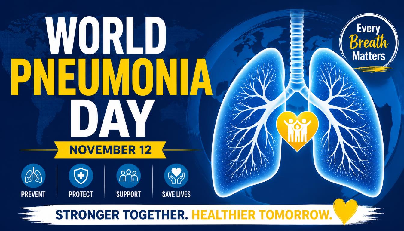
World Pneumonia Day
World Pneumonia Day on November 12 draws attention to a serious respiratory threat that affects communities worldwide. This Awareness…
World Usability Day
World Usability Day highlights the importance of creating products and services that feel intuitive, accessible, and genuinely useful. Held…

World Quality Day
World Quality Day highlights the pivotal role of excellence, precision, and continual improvement in modern professional environments…

Get Outdoors Week
Get Outdoors Week encourages people to embrace fresh air, recreation, and the restorative grandeur of nature. Beginning on November 12…
Popular PNG packs
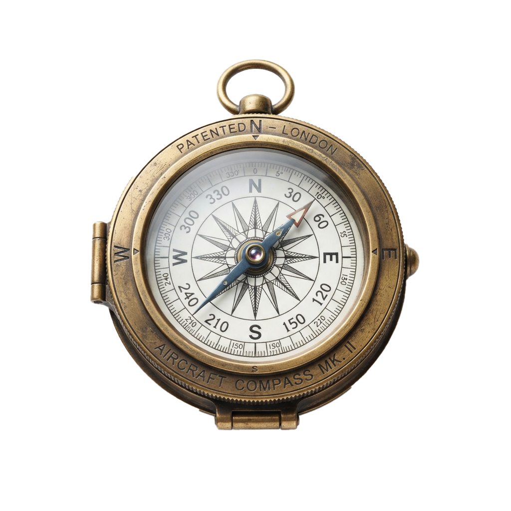
Aviation History Month
Spanning throughout November 01, this observance commemorates humanity's audacious conquest of the skies. Aviation's earliest experiments…

Shakespeare Day
Shakespeare Day celebrates the enduring literary legacy of William Shakespeare, whose plays and poetry continue to shape global culture…

Advisor Appreciation Day
This occasion highlights the enduring value of educational work in shaping informed societies and responsible citizens. It promotes…
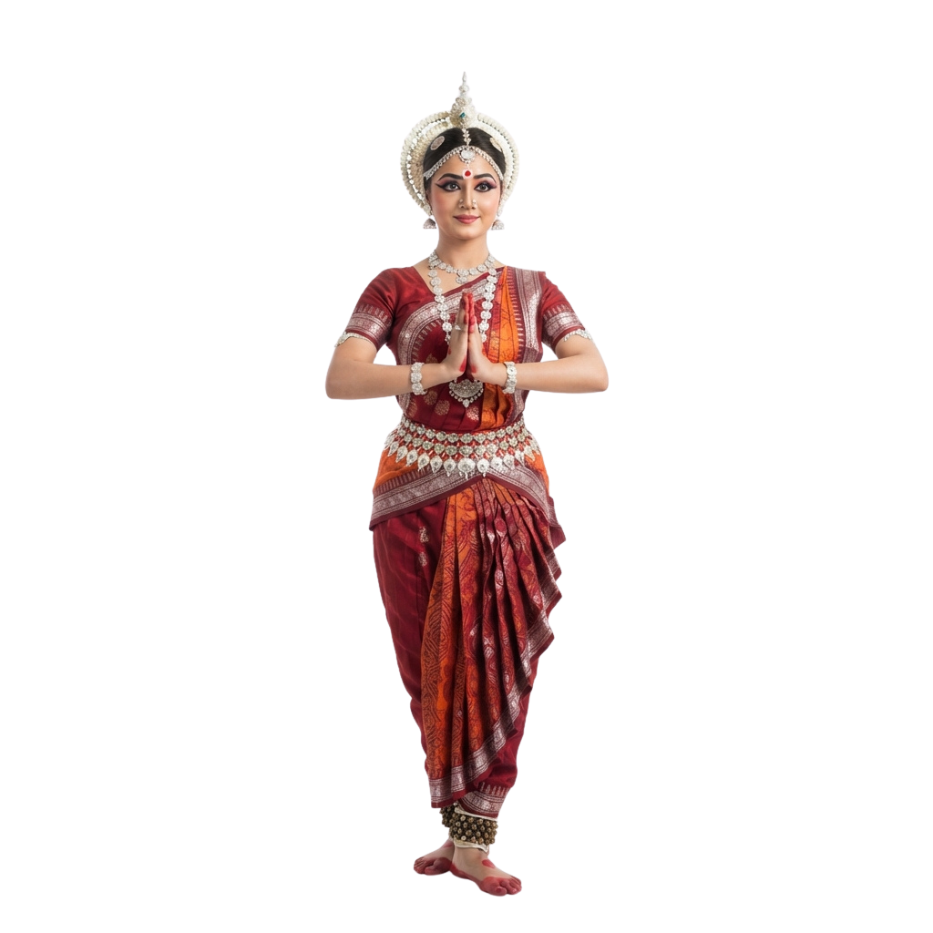
Odisha Day
Celebrates the creation of as a separate linguistic state and honors a defining moment in India’s cultural journey. People mark the…

Great Poetry Reading Day
Great Poetry Reading Day celebrates the evocative power of verse and the enduring artistry of spoken language. The occasion encourages…

Viral Video Day
Viral Video Day celebrates the electrifying influence of short-form visual content and its ability to capture collective attention within…

International Independence Awarenes
Underscores the importance of cultivating Awareness about prudent money management, long-term planning, and economic resilience. Observed…

Oklahoma Day
Oklahoma Day commemorates the state’s distinctive heritage, tracing a historical tapestry shaped by Indigenous traditions, frontier…

UN Chinese Language Day
UN Chinese Language Day celebrates the richness of the Chinese language and its enduring contribution to global communication, literature…

International Romani Day
International Romani Day is observed every year on April 8. It celebrates the heritage, resilience, and lasting contributions of Romani…

World Day for Safety and Health Work
World Day for Safety and Health at Work promotes a global culture that places employee well-being at the heart of every workplace. Observed…

Orthodox Holy Saturday
Orthodox Holy Saturday is a profoundly reflective observance within the Orthodox faith, commemorating the sacred interval between the…
Comments 0
No comments yet — used this pack in a project? Tell us about it.
Leave a comment