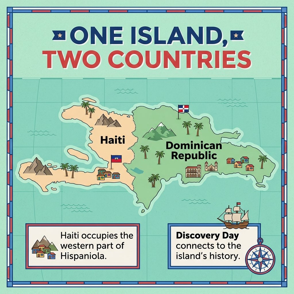
One Island Two Countries Hispaniola Map Illustration
Free vector
- Pack
- 1 file
- 1024 × 1024 px
Updated Nov 9, 2026 by PNG Culture
This flat vector illustration features a map of the island of Hispaniola titled one island, two countries. The western portion is labeled Haiti and colored in light orange, while the eastern portion is labeled Dominican Republic and colored in green. Small descriptive text boxes appear at the bottom, accompanied by icons of a compass, a ship, mountains, and flags, all set against a teal background.
This graphic is useful for educational projects, geography lessons, and presentations about Caribbean history. It fits well into materials created for Discovery Day in Haiti, cultural studies, or school reports that explore the shared history and geography of the two neighboring nations, providing a clear visual overview of the island layout.
Provided as a standard image file with a solid background, this digital graphic can be easily resized for inclusion in web pages, digital presentations, or printed handouts. Its clean vector lines and bright colors allow it to pair smoothly with other thematic icons, text blocks, and educational layouts for a professional finish.
Find more matching graphics in the Discovery Day (Haiti) pack.
One Island Two Countries Hispaniola Map Illustration Images
1 free image · free to download
More Vectors

Farmington Earmuff Parade Winter Festival Illustration
This detailed cartoon illustration captures a festive winter street scene during the Farmington earmuff parade. The composition features a…
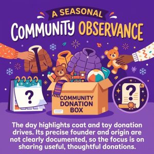
Community Donation Box for Coats and Toys Illustration
This vibrant cartoon illustration features a cardboard community donation box brimming with winter jackets, coats, and stuffed animals. Two…

December 5 Calendar And Ninja Illustration For Ninja Day
This flat vector illustration features a spiral-bound December calendar with the 5th highlighted in a red circle. To the right of the…

International Volunteer Day Tutoring and Mentoring Illustration
This charming digital illustration features a diverse group of children and an adult mentor gathered around a wooden table, engaged in…
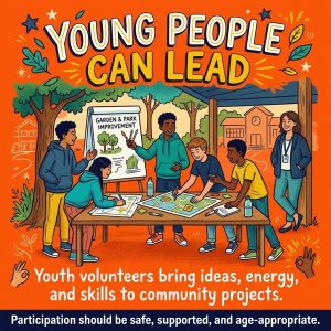
Young People Collaborating at Table Vector Illustration
This vector illustration features a diverse group of young people gathered around a wooden table in an outdoor setting. The characters are…

Learning About Thai Fathers Day Classroom Illustration
This charming cartoon illustration depicts a classroom scene where a teacher guides young students engaged in art and craft activities…

Three Signature Elements of Sacher Torte Cake Illustration
This graphic illustrates the internal structure of a Sacher torte cake slice, featuring three distinct layers labeled with arrows pointing…
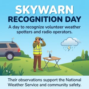
Skywarn Recognition Day Weather Spotter Vector Illustration
This flat vector cartoon illustration depicts a volunteer weather spotter standing on a green hill under a light blue sky. Wearing a…

Soil Helps Manage Water World Soil Day Illustration
This educational flat vector illustration explains how soil manages water within a landscape. Set against a bright blue background, the…

Compost Can Feed the Soil Infographic Illustration
This educational vector illustration features a warm peach background with handwritten lettering at the top that reads Compost Can Feed the…
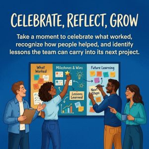
Team Retrospective Board with Headline PNG Illustration
This flat vector illustration depicts four diverse colleagues gathered around a large retrospective board featuring three color-coded…

Diverse Team Assembling a Puzzle Illustration for Recognition Day
This vector illustration depicts a diverse group of colleagues working together to assemble a large, circular puzzle on a solid green…
More in Cultural

Chester Greenwood Inventor Portrait Illustration
This digital illustration portrays a young Chester Greenwood set against a warm gold background. He wears a dark coat and scarf…
Farmington Earmuff Parade Winter Festival Illustration
This detailed cartoon illustration captures a festive winter street scene during the Farmington earmuff parade. The composition features a…

Chester Greenwood Earmuff Day Vintage Poster Illustration
This vintage inspired illustration depicts a smiling man with a mustache, wearing a dark coat and red scarf, holding a pair of white…

Chester Greenwood Other Inventions Poster Illustration
This vintage-style poster features a dark blue background bordered by a decorative frame, with prominent headline text reading More Than…

Chester Greenwood Day Earmuff Sketch Design Poster
This illustration features a purple background next to an open notebook containing a detailed pencil sketch of earmuffs with handwritten…

Chester Greenwood Earmuff Invention Diagram Illustration
This graphic features a vintage style red rectangular background containing an illustrated diagram of early earmuffs. A wire headband…

Woman Wearing Winter Earmuffs Illustration for Chester Greenwood Day
This vertical cartoon illustration shows a young woman standing outdoors in a snowy landscape with pine trees. She is wearing a dark winter…

Family Enjoying Cold Weather with Earmuffs Illustration
This charming digital illustration features a multi-generational family of four standing outside in a snowy winter landscape. An older man…

One Idea Many Styles Earmuff Evolution Stock Image
This photograph features three distinct pairs of earmuffs arranged horizontally on a bright yellow background. Above them, bold dark text…
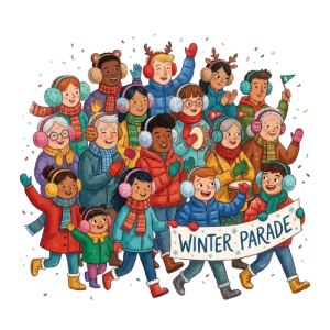
Diverse Group in Winter Parade PNG Cartoon Illustration
This vibrant cartoon illustration depicts a large, diverse crowd of smiling people of all ages wearing warm winter clothing, colorful…

Woman Wearing Fluffy Earmuffs PNG Cutout for Winter
This studio photograph presents a close-up portrait of a cheerful young woman outdoors in winter. She has dark hair dusted with gentle…

Winter Earmuffs and Lightbulb Invention PNG Graphic
This charming digital illustration features a pair of blue fluffy winter earmuffs positioned underneath a glowing yellow lightbulb with…
Upcoming this week
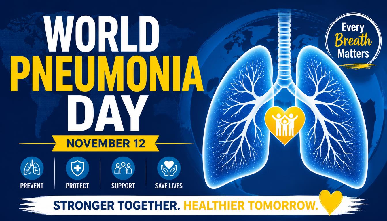
World Pneumonia Day
World Pneumonia Day on November 12 draws attention to a serious respiratory threat that affects communities worldwide. This Awareness…
World Usability Day
World Usability Day highlights the importance of creating products and services that feel intuitive, accessible, and genuinely useful. Held…

World Quality Day
World Quality Day highlights the pivotal role of excellence, precision, and continual improvement in modern professional environments…

Get Outdoors Week
Get Outdoors Week encourages people to embrace fresh air, recreation, and the restorative grandeur of nature. Beginning on November 12…
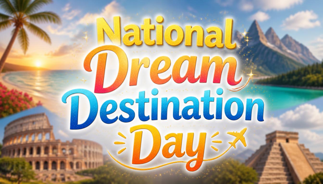
National Dream Destination Day
National Dream Destination Day arrives on November 13, inspiring travelers to envision places that stir curiosity and wanderlust. In the…
National DTC Friday
National DTC (Direct-To-Consumer) Friday arrives on November 13, inviting shoppers to explore brands that sell directly to their customers…

National Hug a Musician Day
National Hug a Musician Day arrives on November 13, offering a cheerful opportunity to honor the artists who enrich everyday life through…

Christchurch Show Day
Christchurch Show Day brings together heritage, agriculture, entertainment, and community spirit in New Zealand. Held on November 13 in…

National Indian Pudding Day
National Indian Pudding Day falls on November 13, honoring a venerable New England delicacy with deep culinary roots. This Baking tradition…

Symphonic Metal Day
Symphonic Metal Day arrives on November 13, celebrating a genre where thunderous metal riffs meet the grandeur of classical orchestration…
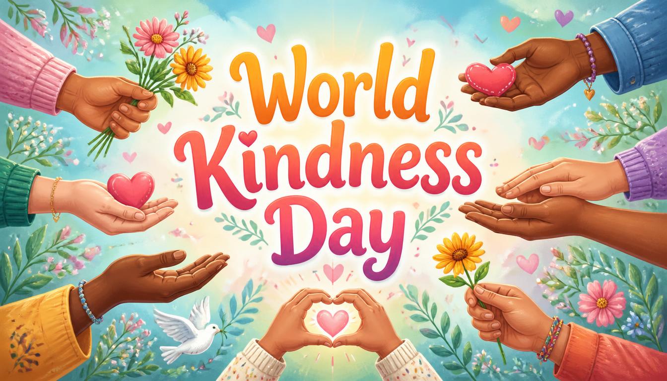
World Kindness Day
World Kindness Day arrives on November 13, encouraging compassion, empathy, and thoughtful gestures across communities. This meaningful…
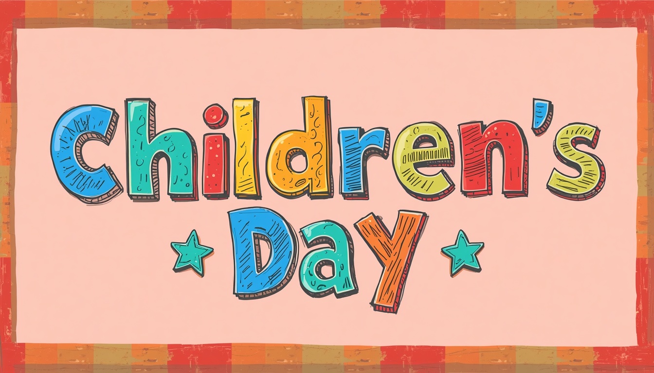
Children's Day
Children's Day in India falls on November 14, commemorating the birth anniversary of Jawaharlal Nehru, the nation’s first Prime Minister…
Popular PNG packs
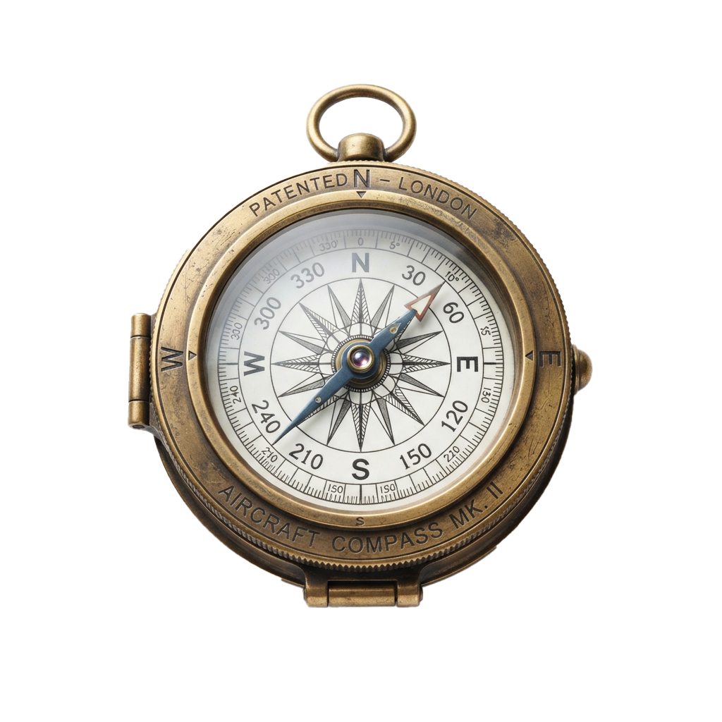
Aviation History Month
Spanning throughout November 01, this observance commemorates humanity's audacious conquest of the skies. Aviation's earliest experiments…

Shakespeare Day
Shakespeare Day celebrates the enduring literary legacy of William Shakespeare, whose plays and poetry continue to shape global culture…

Advisor Appreciation Day
This occasion highlights the enduring value of educational work in shaping informed societies and responsible citizens. It promotes…
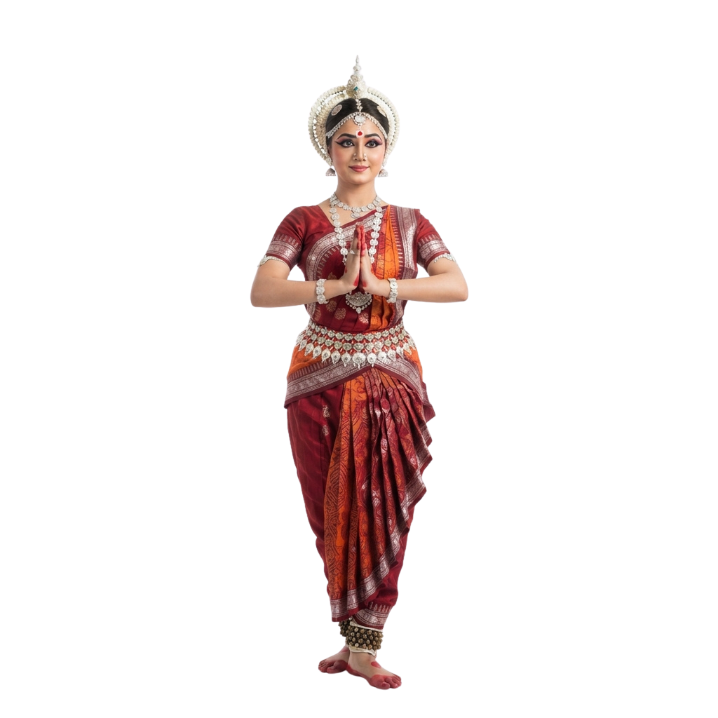
Odisha Day
Celebrates the creation of as a separate linguistic state and honors a defining moment in India’s cultural journey. People mark the…

Great Poetry Reading Day
Great Poetry Reading Day celebrates the evocative power of verse and the enduring artistry of spoken language. The occasion encourages…

Viral Video Day
Viral Video Day celebrates the electrifying influence of short-form visual content and its ability to capture collective attention within…

International Independence Awarenes
Underscores the importance of cultivating Awareness about prudent money management, long-term planning, and economic resilience. Observed…

Oklahoma Day
Oklahoma Day commemorates the state’s distinctive heritage, tracing a historical tapestry shaped by Indigenous traditions, frontier…

International Romani Day
International Romani Day is observed every year on April 8. It celebrates the heritage, resilience, and lasting contributions of Romani…

UN Chinese Language Day
UN Chinese Language Day celebrates the richness of the Chinese language and its enduring contribution to global communication, literature…

Orthodox Holy Saturday
Orthodox Holy Saturday is a profoundly reflective observance within the Orthodox faith, commemorating the sacred interval between the…

World Day for Safety and Health Work
World Day for Safety and Health at Work promotes a global culture that places employee well-being at the heart of every workplace. Observed…
Comments 0
No comments yet — used this pack in a project? Tell us about it.
Leave a comment