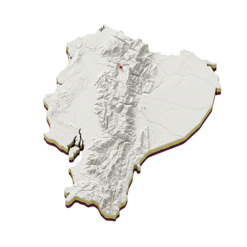
Topographic 3D Map of Ecuador for Foundation of Quito Day PNG
Free PNG image
- Pack
- 1 PNG
- 500 × 500 px
- Transparent PNG
Updated Nov 11, 2026 by PNG Culture 11 views
This detailed cutout features a three-dimensional physical relief map of Ecuador, carefully sculpted to highlight the mountainous terrain, valleys, and coastal lowlands. Rendered in subtle off-white and earthy tones with realistic shadows, the topography reveals the complex Andean mountain ranges running through the country. The transparent background allows the map to be seamlessly integrated into various educational presentations, geography projects, and digital cartography layouts without any unwanted framing.
Ideal for educational materials, geographical research, and patriotic projects, this topographical graphic serves as a wonderful visual asset for Foundation of Quito Day celebrations, highlighting the diverse geography surrounding the historic city. Designers can incorporate this map into infographics, travel brochures, school reports, and regional maps. Its neutral color palette complements diverse design schemes, making it easy to pair with flags, crests, text overlays, and historical illustrations for both digital and print media.
Delivered as a high-resolution PNG file with a transparent background, this map graphic is ready for immediate insertion into your creative workflows. The crisp edges and clean cutout ensure it can be resized effortlessly for web banners, social media graphics, or large-format posters without losing fidelity. Layer it over colored backgrounds, textured paper, or patterns to create customized visual compositions that celebrate the unique geography and heritage of Ecuador.
Find more matching graphics in the Foundation of Quito Day pack.
Topographic 3D Map of Ecuador for Foundation of Quito Day PNG PNG Images
1 free transparent PNG & clipart · no background · free to download
More PNG Images
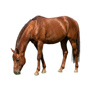
Bay Horse Grazing Cut-Out PNG for National Horse Day
This detailed stock image features a magnificent bay horse captured in a natural grazing posture, with its head lowered and body angled…
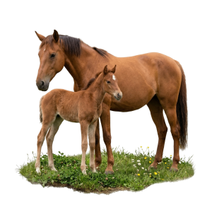
Brown Mare and Foal Cut-Out PNG for National Horse Day
This detailed cut-out image features a large brown mare standing protectively beside her small foal. Both horses have rich brown coats and…
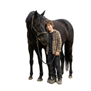
Young Boy with Black Horse PNG Cut-Out Image
This detailed cutout PNG image features a young boy standing next to a large black horse. The boy is wearing a plaid shirt, dark jeans, and…
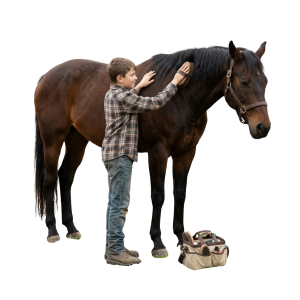
Boy Grooming a Dark Horse PNG Cut-Out Image
This detailed cutout PNG image shows a young boy in a plaid shirt and jeans standing alongside a dark brown horse. He holds a grooming…

Girl Grooming a Bay Horse PNG Cut-Out for Event
This photographic image features a young girl with a ponytail wearing a green shirt and dark trousers, standing alongside a large bay…

Woman Standing Beside a White Horse PNG Cut-Out
This isolated image features a young woman with long brown hair, dressed in a dark green jacket, black trousers, and brown boots, standing…
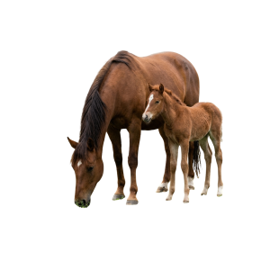
Bay Mare and Foal Grazing Cut-Out PNG Image
This detailed cutout graphic portrays a majestic brown mare grazing peacefully alongside her young foal. The adult horse has a dark mane…

Mare and Foal Watercolor PNG for National Horse Day
This charming illustration features a gentle brown mare standing protectively next to her playful foal in a lush green meadow filled with…

Magical Golden Violin with Bow PNG for National Violin Day
This detailed digital illustration features an ornate golden violin paired with its bow, positioned diagonally against a transparent…

Violin and Bow with Swirling Lines PNG for National Violin Day
This detailed line art image features a classic acoustic violin paired with a bow, arranged dynamically against a transparent background…

Violin and Red Roses Floral Corner PNG for National Violin Day
This detailed watercolour illustration presents a corner composition centered on a wooden violin with its bow resting alongside it. The…

Classic Violin and Ribbon PNG for National Violin Day
This detailed graphic features a classic wooden violin resting diagonally on soft, curving white paper ribbons. A matching bow lies…
More in Federal

Jamhuri Day Open Book and Kenyan Flag Ribbon PNG
This detailed digital illustration features an open antique book centered inside a circular frame of green laurel leaves and golden…
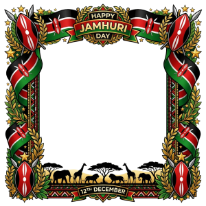
Jamhuri Day Kenyan Safari Animals Border PNG
This detailed illustrative frame is designed for Jamhuri Day celebrations, showcasing the rich cultural heritage of Kenya. The artwork…

Jamhuri Day Burning Torch with Kenyan Flag Ribbon PNG
This illustration features an ornate golden torch with detailed metalwork, topped by a vibrant, glowing yellow and orange flame. Winding…

Jamhuri Day Burning Torch and Golden Wreath Illustration
This detailed graphic illustration designed for Jamhuri Day features a bright burning torch at the center, symbolizing freedom and…

Jamhuri Day Kenyan Shield and Spear Illustration
This illustration depicts a traditional East African shield and two crossed spears surrounded by flowing ribbons in the colors of the…

Jamhuri Day Golden Medallion and Flag Illustration
This detailed 3D illustration features a circular golden medallion centered against a dark background with flowing Kenyan flags on both…

Jamhuri Day Kenyan Flag and Safari Sunset Illustration
This illustration depicts a vibrant Kenyan sunset over an African savanna silhouette, featuring acacia trees, a giraffe, elephants, and a…

Jamhuri Day Kenyan Shield and Ribbon PNG Illustration
This detailed 3D digital illustration showcases a traditional Maasai shield centered below a glowing star, crossed by two detailed spears…

Jamhuri Day Kenyan Safari Frame PNG Illustration
This illustration features an ornate, decorative square frame themed around Kenya. The top portion showcases crossed Kenyan flags…

Jamhuri Day Kenyan Landscape Sunrise Illustration
This digital illustration depicts a picturesque Kenyan landscape bathed in the warm glow of a sunrise. In the background, majestic…

Jamhuri Day Kenyan Students and Flags Illustration
This detailed digital illustration shows a crowd of diverse young students in school uniforms, holding small Kenyan flags and books. Above…
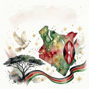
Jamhuri Day Kenya Map and Dove Watercolor Illustration
This watercolor illustration depicts a detailed map of Kenya filled with earthy green and red tones, accompanied by a flying white dove on…
Upcoming this week
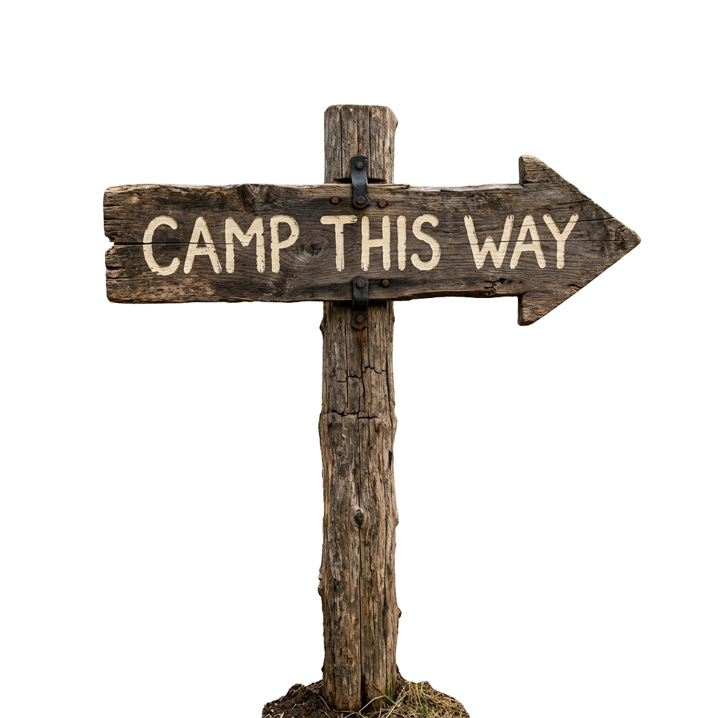
National Camp Day
National Camp Day, celebrated on November 19, invites people to rediscover the restorative allure of outdoor recreation. The occasion…

Social Enterprise Day
Social Enterprise Day, observed on November 19, celebrates organizations that blend commercial ingenuity with meaningful social and…

Use Less Stuff Day
Use Less Stuff Day, observed on November 19, cultivates Awareness of mindful consumption and the environmental consequences of excessive…

Women’s Entrepreneurship Day
Women’s Entrepreneurship Day, observed on November 19, advances Awareness of the remarkable economic and social contributions made by Women…

World Pancreatic Cancer Day
World Pancreatic Cancer Day, observed on November 19, fosters vital Awareness of one of the most challenging Diseases affecting global…

World Toilet Day
World Toilet Day, observed on November 19, promotes global Awareness of sanitation, hygiene, and equitable access to safe toilets. This…

Future Teachers of America Day
Future Teachers of America Day, observed on November 20, offers a meaningful occasion for Appreciation of aspiring educators who envision…

Great American Smokeout
The Great American Smokeout takes place on November 20, encouraging communities across the United States to reconsider tobacco use and…

International Hug a Runner Day
International Hug a Runner Day falls on November 20, celebrating the perseverance, camaraderie, and exuberant spirit woven into the running…

National Child's Day
National Child's Day on November 20 highlights the dignity, rights, and wellbeing of Children worldwide. This meaningful observance…

Name Your PC Day
Name Your PC Day arrives on November 20, offering a whimsical opportunity to personalize the indispensable machines that shape modern…

National Pay Back Your Parents Day
National Pay Back Your Parents Day, observed on November 20, celebrates the enduring bond between Children and their parents. Across the…
Popular PNG packs

Aviation History Month
Spanning throughout November 01, this observance commemorates humanity's audacious conquest of the skies. Aviation's earliest experiments…
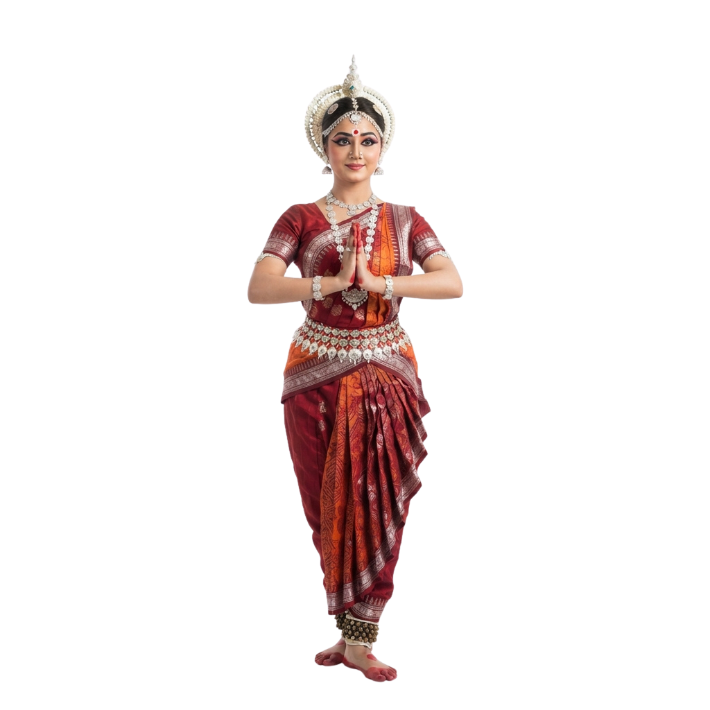
Odisha Day
Celebrates the creation of as a separate linguistic state and honors a defining moment in India’s cultural journey. People mark the…

Shakespeare Day
Shakespeare Day celebrates the enduring literary legacy of William Shakespeare, whose plays and poetry continue to shape global culture…

Advisor Appreciation Day
This occasion highlights the enduring value of educational work in shaping informed societies and responsible citizens. It promotes…

Great Poetry Reading Day
Great Poetry Reading Day celebrates the evocative power of verse and the enduring artistry of spoken language. The occasion encourages…

International Independence Awarenes
Underscores the importance of cultivating Awareness about prudent money management, long-term planning, and economic resilience. Observed…

Viral Video Day
Viral Video Day celebrates the electrifying influence of short-form visual content and its ability to capture collective attention within…

Oklahoma Day
Oklahoma Day commemorates the state’s distinctive heritage, tracing a historical tapestry shaped by Indigenous traditions, frontier…

International Romani Day
International Romani Day is observed every year on April 8. It celebrates the heritage, resilience, and lasting contributions of Romani…

UN Chinese Language Day
UN Chinese Language Day celebrates the richness of the Chinese language and its enduring contribution to global communication, literature…

Orthodox Holy Saturday
Orthodox Holy Saturday is a profoundly reflective observance within the Orthodox faith, commemorating the sacred interval between the…

Thank You for Libraries Day
Thank You for Libraries Day celebrates the invaluable role libraries play in preserving knowledge, inspiring curiosity, and strengthening…
Comments 0
No comments yet — used this pack in a project? Tell us about it.
Leave a comment