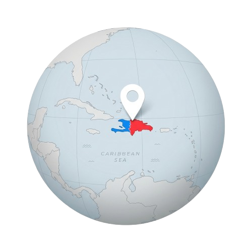
Hispaniola Globe Map with Location Pin PNG Illustration
Free PNG image
- Pack
- 1 PNG
- 500 × 500 px
- Transparent PNG
Updated Nov 9, 2026 by PNG Culture
This clean 3D graphic features a pale blue and grey globe centered on the Caribbean region. The island of Hispaniola is distinctly highlighted in blue on the western side and red on the eastern side, representing Haiti and the Dominican Republic. A solid white location pin sits directly above the island, drawing immediate focus to the geographic area. The overall style is modern, minimalist, and smooth, with soft shadows and grid lines on the globe surface.
This illustration is ideal for educational materials, geographical projects, presentations, and digital content related to the Caribbean. It serves as a strong visual element for Discovery Day in Haiti events, school assignments about island geography, travel blog headers, and international relations reports. Designers can easily integrate this graphic into infographics, lesson plans, website banners, and social media posts celebrating historical milestones or cultural heritage in the region.
Provided as a transparent PNG file, this cut-out image allows for seamless placement over any colored or textured background without unsightly borders. The high resolution ensures that the globe and location pin retain their sharp details and smooth edges when scaled up or down. You can effortlessly layer this asset with other vector graphics, typography, or icons to create professional compositions for both print and digital publishing platforms.
Find more matching graphics in the Discovery Day (Haiti) pack.
Hispaniola Globe Map with Location Pin PNG Illustration PNG Images
1 free transparent PNG & clipart · no background · free to download
More PNG Images
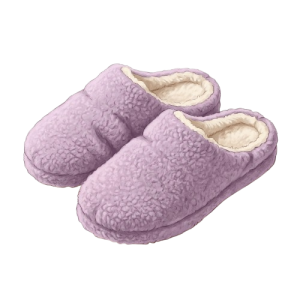
Cozy Purple Fuzzy Slippers PNG for Put on Your Own Shoes Day
This detailed graphic showcases a pair of cozy indoor slippers rendered in a soft pastel purple color. The footwear features a plush…
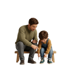
Father Teaching Son to Tie Shoes PNG Cartoon Graphic
This charming 3D render features a father and his young son sitting side by side on a light wooden bench against a transparent background…
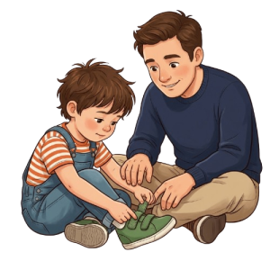
Father Helping Son Put on Shoes Cartoon PNG Illustration
This charming cartoon illustration features a young boy sitting cross-legged on the floor, carefully fastening his green sneaker while…
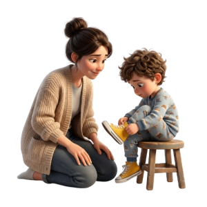
Mother Watching Little Boy Putting on Shoes PNG Graphic
This charming 3D rendered graphic features a mother kneeling on the floor, looking tenderly at her young son. The boy has curly brown hair…
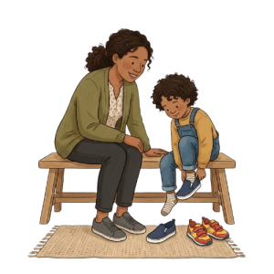
Mother Watching Boy Putting On Shoes PNG Cartoon Graphic
This charming digital illustration features a mother with dark curly hair tied back, wearing a green cardigan and dark trousers, sitting on…
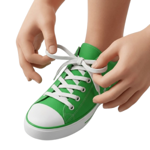
Child Tying Shoelaces of Green Sneaker PNG Cut-Out
This clear photo cut-out shows a close-up perspective of hands tying white laces on a vibrant green canvas sneaker. The shot focuses…
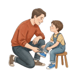
Father Helping Son Tie Shoes PNG Illustration
This heartwarming illustration captures a father affectionately kneeling beside a young boy to help him tie his blue sneakers. The boy sits…
Colorful Running Shoes and Rainbow Footprints PNG
This vibrant vector illustration features a pair of colourful sneakers shown alongside a winding path of footprints in various rainbow…
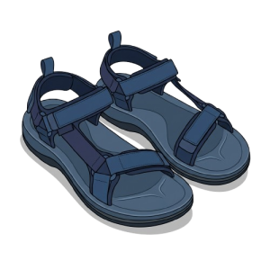
Pair of Blue Hiking Sandals PNG Illustration
This detailed graphic features a pair of sturdy outdoor hiking sandals rendered in shades of dark blue. The shoes are designed with thick…
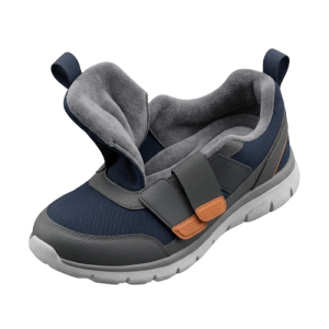
Easy On Adaptive Sneaker Shoe PNG Image for Put on Your Own Shoes Day
This detailed graphic showcases a modern adaptive sneaker designed with accessibility in mind, featuring a wide-opening tongue flap and a…
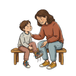
Mother Encouraging Son to Put on Shoes PNG Illustration
This charming cartoon illustration features a mother and her young son seated together on a wooden bench. The boy, wearing a striped shirt…
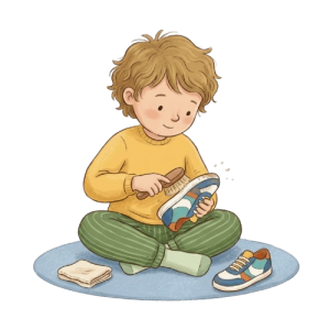
Boy Cleaning His Sneaker PNG Illustration
This charming watercolor-style cartoon illustration shows a young boy with curly hair sitting on the floor, using a small brush to clean…
More in Cultural
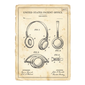
Vintage Headphones Patent Drawing PNG
This illustration features a vintage United States Patent Office document for headphones, rendered in a classic line art style on aged…
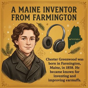
Chester Greenwood Inventor Portrait Illustration
This digital illustration portrays a young Chester Greenwood set against a warm gold background. He wears a dark coat and scarf…
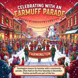
Farmington Earmuff Parade Winter Festival Illustration
This detailed cartoon illustration captures a festive winter street scene during the Farmington earmuff parade. The composition features a…

Chester Greenwood Earmuff Day Vintage Poster Illustration
This vintage inspired illustration depicts a smiling man with a mustache, wearing a dark coat and red scarf, holding a pair of white…

Chester Greenwood Other Inventions Poster Illustration
This vintage-style poster features a dark blue background bordered by a decorative frame, with prominent headline text reading More Than…

Chester Greenwood Day Earmuff Sketch Design Poster
This illustration features a purple background next to an open notebook containing a detailed pencil sketch of earmuffs with handwritten…

Chester Greenwood Earmuff Invention Diagram Illustration
This graphic features a vintage style red rectangular background containing an illustrated diagram of early earmuffs. A wire headband…
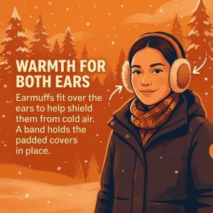
Woman Wearing Winter Earmuffs Illustration for Chester Greenwood Day
This vertical cartoon illustration shows a young woman standing outdoors in a snowy landscape with pine trees. She is wearing a dark winter…
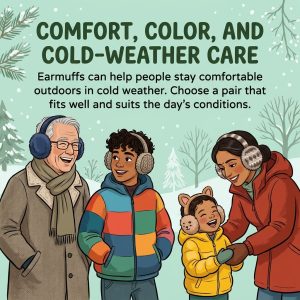
Family Enjoying Cold Weather with Earmuffs Illustration
This charming digital illustration features a multi-generational family of four standing outside in a snowy winter landscape. An older man…

One Idea Many Styles Earmuff Evolution Stock Image
This photograph features three distinct pairs of earmuffs arranged horizontally on a bright yellow background. Above them, bold dark text…
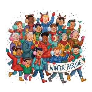
Diverse Group in Winter Parade PNG Cartoon Illustration
This vibrant cartoon illustration depicts a large, diverse crowd of smiling people of all ages wearing warm winter clothing, colorful…

Woman Wearing Fluffy Earmuffs PNG Cutout for Winter
This studio photograph presents a close-up portrait of a cheerful young woman outdoors in winter. She has dark hair dusted with gentle…
Upcoming this week
World Pneumonia Day
World Pneumonia Day on November 12 draws attention to a serious respiratory threat that affects communities worldwide. This Awareness…

World Usability Day
World Usability Day highlights the importance of creating products and services that feel intuitive, accessible, and genuinely useful. Held…

World Quality Day
World Quality Day highlights the pivotal role of excellence, precision, and continual improvement in modern professional environments…
Get Outdoors Week
Get Outdoors Week encourages people to embrace fresh air, recreation, and the restorative grandeur of nature. Beginning on November 12…
National Dream Destination Day
National Dream Destination Day arrives on November 13, inspiring travelers to envision places that stir curiosity and wanderlust. In the…
National DTC Friday
National DTC (Direct-To-Consumer) Friday arrives on November 13, inviting shoppers to explore brands that sell directly to their customers…

National Hug a Musician Day
National Hug a Musician Day arrives on November 13, offering a cheerful opportunity to honor the artists who enrich everyday life through…

Christchurch Show Day
Christchurch Show Day brings together heritage, agriculture, entertainment, and community spirit in New Zealand. Held on November 13 in…
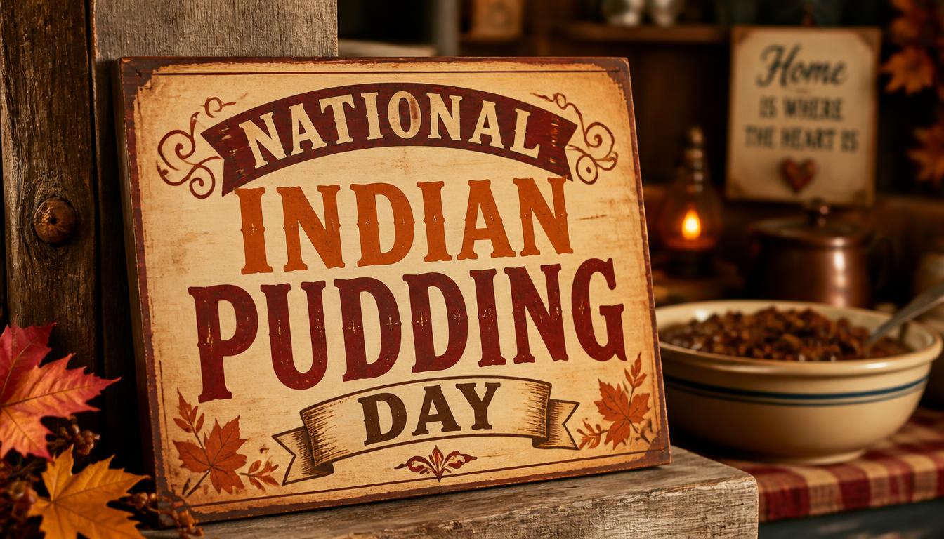
National Indian Pudding Day
National Indian Pudding Day falls on November 13, honoring a venerable New England delicacy with deep culinary roots. This Baking tradition…

Symphonic Metal Day
Symphonic Metal Day arrives on November 13, celebrating a genre where thunderous metal riffs meet the grandeur of classical orchestration…
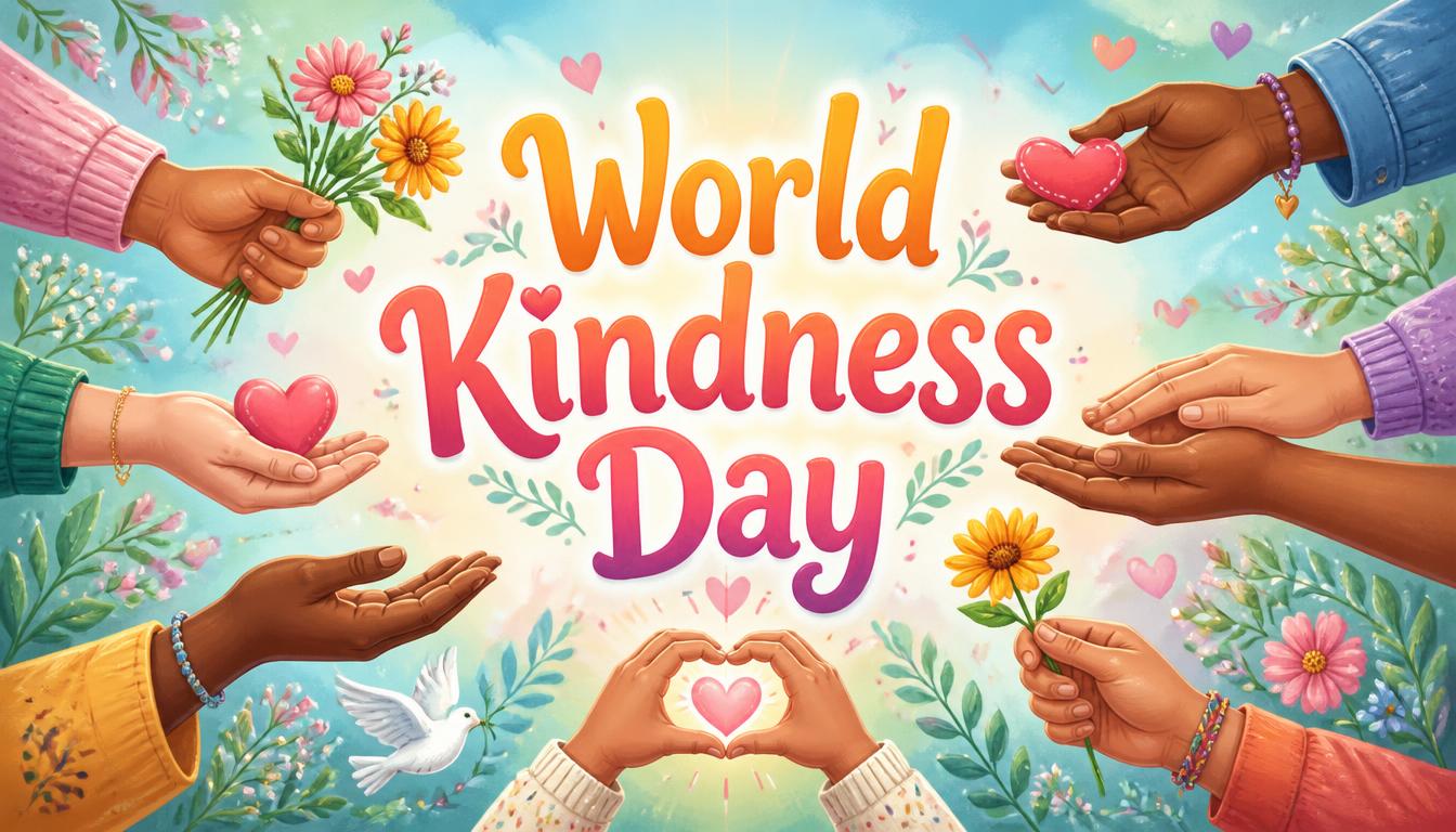
World Kindness Day
World Kindness Day arrives on November 13, encouraging compassion, empathy, and thoughtful gestures across communities. This meaningful…
Children's Day
Children's Day in India falls on November 14, commemorating the birth anniversary of Jawaharlal Nehru, the nation’s first Prime Minister…
Popular PNG packs
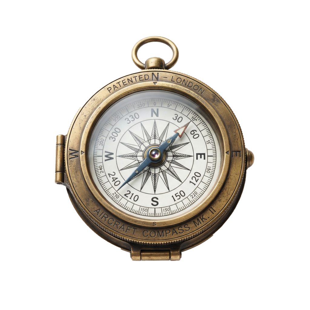
Aviation History Month
Spanning throughout November 01, this observance commemorates humanity's audacious conquest of the skies. Aviation's earliest experiments…

Shakespeare Day
Shakespeare Day celebrates the enduring literary legacy of William Shakespeare, whose plays and poetry continue to shape global culture…

Advisor Appreciation Day
This occasion highlights the enduring value of educational work in shaping informed societies and responsible citizens. It promotes…
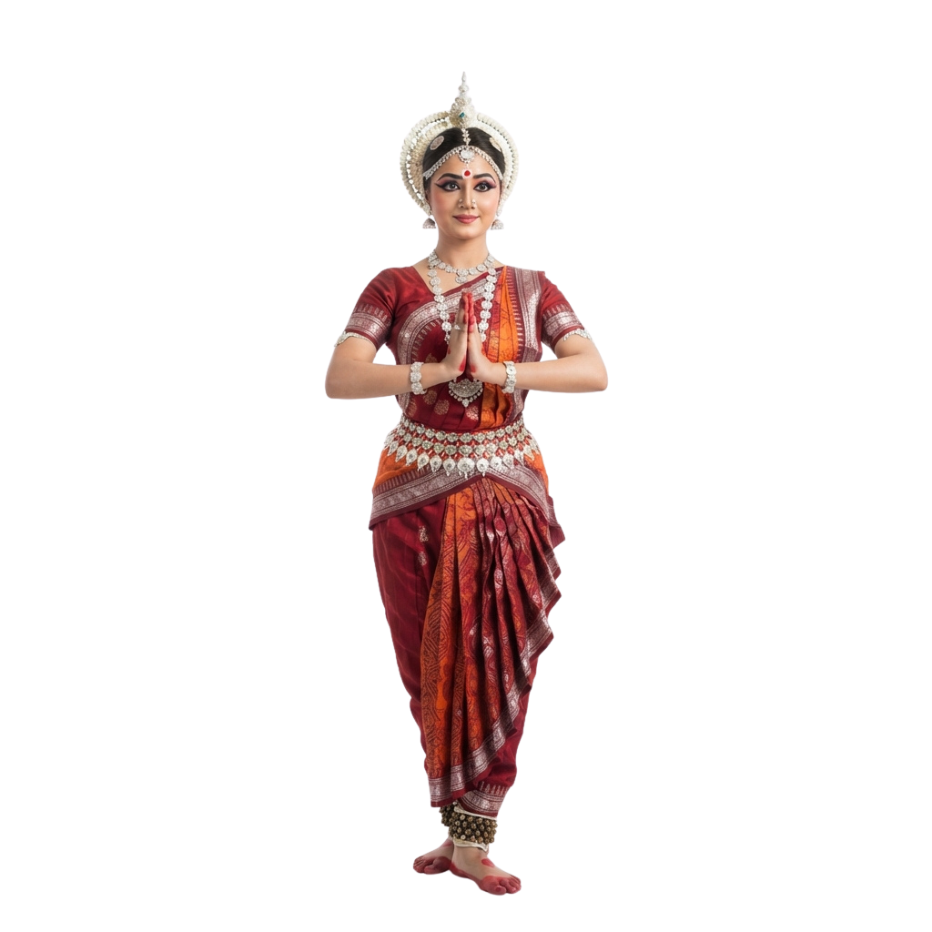
Odisha Day
Celebrates the creation of as a separate linguistic state and honors a defining moment in India’s cultural journey. People mark the…
Great Poetry Reading Day
Great Poetry Reading Day celebrates the evocative power of verse and the enduring artistry of spoken language. The occasion encourages…

Viral Video Day
Viral Video Day celebrates the electrifying influence of short-form visual content and its ability to capture collective attention within…

International Independence Awarenes
Underscores the importance of cultivating Awareness about prudent money management, long-term planning, and economic resilience. Observed…

Oklahoma Day
Oklahoma Day commemorates the state’s distinctive heritage, tracing a historical tapestry shaped by Indigenous traditions, frontier…

International Romani Day
International Romani Day is observed every year on April 8. It celebrates the heritage, resilience, and lasting contributions of Romani…

UN Chinese Language Day
UN Chinese Language Day celebrates the richness of the Chinese language and its enduring contribution to global communication, literature…
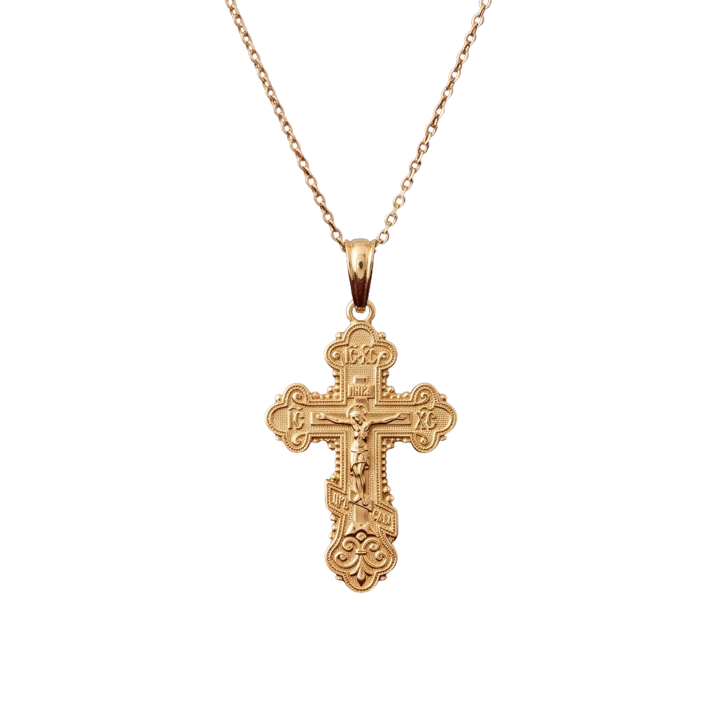
Orthodox Holy Saturday
Orthodox Holy Saturday is a profoundly reflective observance within the Orthodox faith, commemorating the sacred interval between the…

World Day for Safety and Health Work
World Day for Safety and Health at Work promotes a global culture that places employee well-being at the heart of every workplace. Observed…
Comments 0
No comments yet — used this pack in a project? Tell us about it.
Leave a comment